
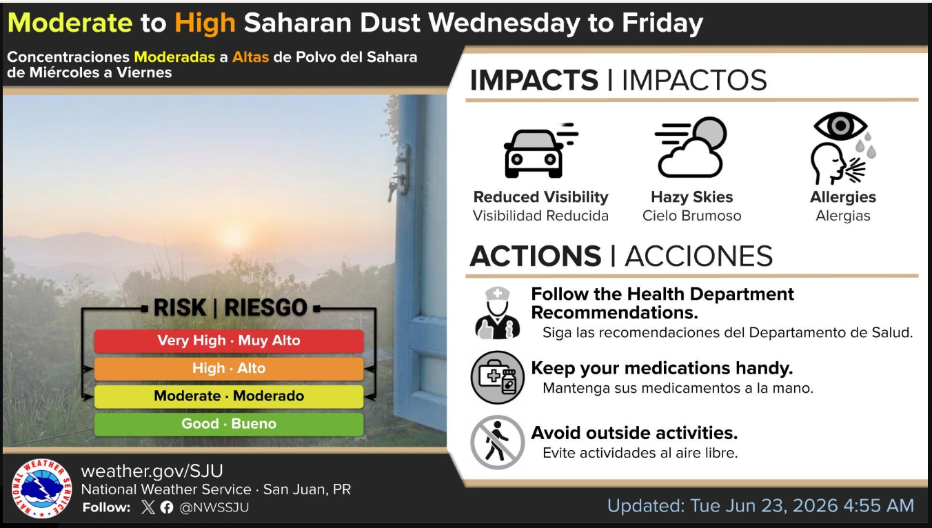
WEATHER ANALYSIS: Chronological Timeline Tracks Incoming Tropical Wave and When High-Density Saharan Dust Will Blanket USVI Wednesday

METEOROLOGICAL ANALYSIS: An editorial weather infographic detailing the atmospheric convergence tracking toward the northeastern Caribbean. The visual map illustrates the sequential arrival of a weak tropical wave (represented by white cloud and precipitation indicators) immediately followed by a dense, high-concentration plume of the Saharan Air Layer (represented by the amber particulate wave) sweeping directly into the U.S. Virgin Islands airspace, with a analytical focus on the localized density centering over the territory. (Infographic: St. Croix Sun News)
By JOHN McCARTHY / St. Croix Sun News Reporter
ST. CROIX — Weather patterns across the northeastern Caribbean are transitioning into a highly dynamic phase this week, bringing a sequence of shifting weather systems that will dramatically alter local air quality, visibility, and temperatures.
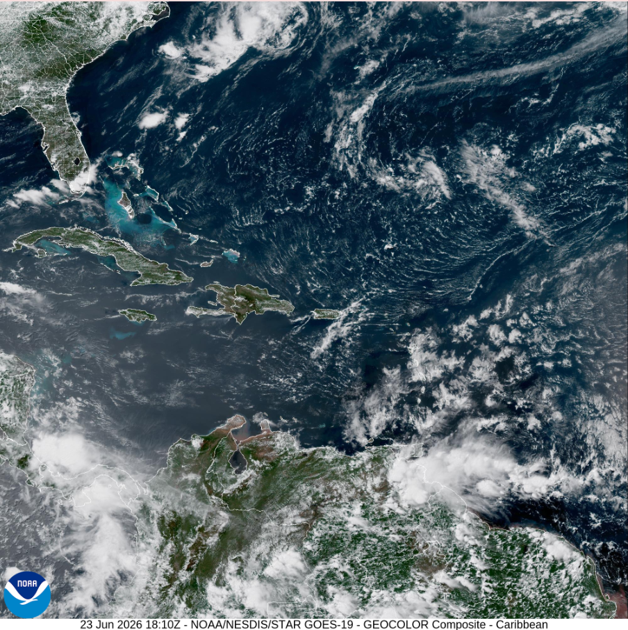
Analysis of current National Weather Service data and NOAA GOES-19 satellite imagery reveals a tracking pattern: a weak tropical wave is currently pushing cloud clusters into the local area from the southeast, while a dense, massive expanse of the Saharan Air Layer (SAL) sits positioned directly behind it across the open Atlantic, moving along low-level trade winds clocked at 15 to 20 knots (17 to 23 mph).
Because the dry, dust-laden airmass is tightly trailing the tropical wave, the territory will experience a sequential, east-to-west transition tomorrow afternoon. The St. Croix Sun News has calculated the exact timeline, geographic impacts, and peak exposure windows for each island.
The Chronological Arrival Timeline
(Wednesday Afternoon)
First Contact (St. Croix): 3:00 PM – 5:00 PM AST Wednesday. Positioned furthest southeast, St. Croix will be the first island to see skies rapidly shift from a post-wave blue to a milky, amber haze. The NWS aviation desk has explicitly flagged that official Haze (HZ) will manifest in the local terminal lines at TISX during this late afternoon window.
Second Contact (St. John & Water Island): 5:00 PM – 7:00 PM AST Wednesday. The plume will bridge the northern Virgin Islands shortly after, enveloping St. John and the waters around Water Island as the trade winds carry the particulate blanket westward.
Third Contact (St. Thomas): 6:00 PM – 8:00 PM AST Wednesday. Terminal forecasts for TIST show haze settling in by late tomorrow afternoon, with the heaviest initial wall of dry air establishing its footing right around sunset.
The Geographic Impact: Why St. Croix Will Bear the Brunt
While the entire territory will feel the impact of the SAL plume, meteorological dynamics indicate that St. Croix is projected to accumulate the highest density of particulate matter.
The core of the dust plume is tracking along an Atlantic ridge sloping from southeast to northwest. Crucially, while the northern periphery of the preceding tropical wave will push precipitable water values (PWAT) up to 1.75 inches over St. Thomas and St. John—triggering showers that physically "scrub" dust out of the sky—the bulk of that wave moisture is skewing south over the Caribbean Sea. Because St. Croix sits on the edge where the atmosphere dries out faster, the raw, unscubbed core of the Saharan plume will settle over the island without being mitigated by rainfall.
Peak Exposure Windows
(Maximum Particulate Saturation)
For vulnerable populations, parents tracking air quality for sensitive children, and residents planning to seal up their homes, these are the intervals of maximum particulate saturation across the islands:
St. Croix
Peak Saturation Window:Wednesday 11:00 PM AST through Friday Morning.
The Dynamics: St. Croix hits maximum dust density overnight on Wednesday. Because the island sits closer to the core of the passing plume, particulate levels will remain locked at peak density throughout the entire day on Thursday.
St. Thomas & St. John
Peak Saturation Window:Thursday 3:00 AM AST through Friday Morning.
The Dynamics: The northern islands will see a slightly delayed peak as initial wave moisture finishes clearing out of the local environment. Once the air dries completely in the pre-dawn hours of Thursday, high-concentration dust will settle heavily over the hills of St. John and Charlotte Amalie harbor, remaining dense through Friday.
Water Island
Peak Saturation Window:Thursday 4:00 AM AST through Friday Morning.
The Dynamics: Mirroring St. Thomas, Water Island will see its highest particulate spikes during the day on Thursday. Because it is surrounded by open water, the combination of high dust particulates and fresh easterly winds will cause exceptionally dry, hazy, and salt-laden air to persist through the end of the workweek.
The Weekend Outlook: Suppressed Rain and a Triple-Digit Heat Threat
As the week progresses, the broad surface high pressure system over the central Atlantic will weaken due to an upper-level low positioned northeast of the area, inducing a surface trough and shifting local winds.
Friday: Weather activity remains highly suppressed across the territory due to the lingering moderate to high concentrations of the Saharan Air Layer, keeping skies hazy and limiting any meaningful shower development.
Saturday: As the induced trough migrates north of the territory, a weak wind profile combining with daytime heating and available low-level moisture could trigger isolated convective showers, bringing a renewed risk of minor localized flooding on roads.
Sunday (The Weekend Heat Peak): By Sunday, regional winds will strengthen out of the southeast, pulling exceptionally warm, tropical air from equatorial regions. Sunday is projected to be the hottest day of the forecast period, with warmer-than-normal low-level temperatures driving local heat indices well above $100^\circ\text{F}$. The National Weather Service notes that a formal Heat Advisory may be required for the territory.
Marine and Beach Safety Profile
Conditions across the local waters will remain volatile for small craft and recreational beachgoers throughout the week.
Marine Conditions
Winds & Seas: The surface high-pressure system will maintain moderate to fresh easterly to east-northeast winds at 15 to 20 knots, with higher localized gusts. This will maintain choppy, uneven sea conditions across most local waters, and small craft operators should exercise caution.
Wave Hazards: The arrival of Wednesday’s tropical wave is forecast to produce brief but intense squalls over local Caribbean waters, which can trigger sudden, hazardous marine conditions.
Beach Forecast
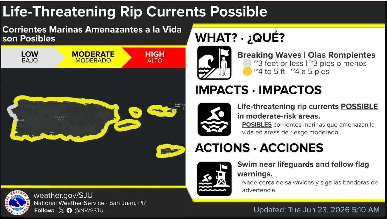
Rip Current Risk: A low to moderate risk of rip currents is in effect for all coastal areas of the U.S. Virgin Islands tonight. This moderate rip current risk will persist through the remainder of the workweek and extend into the upcoming weekend across all local shorelines.