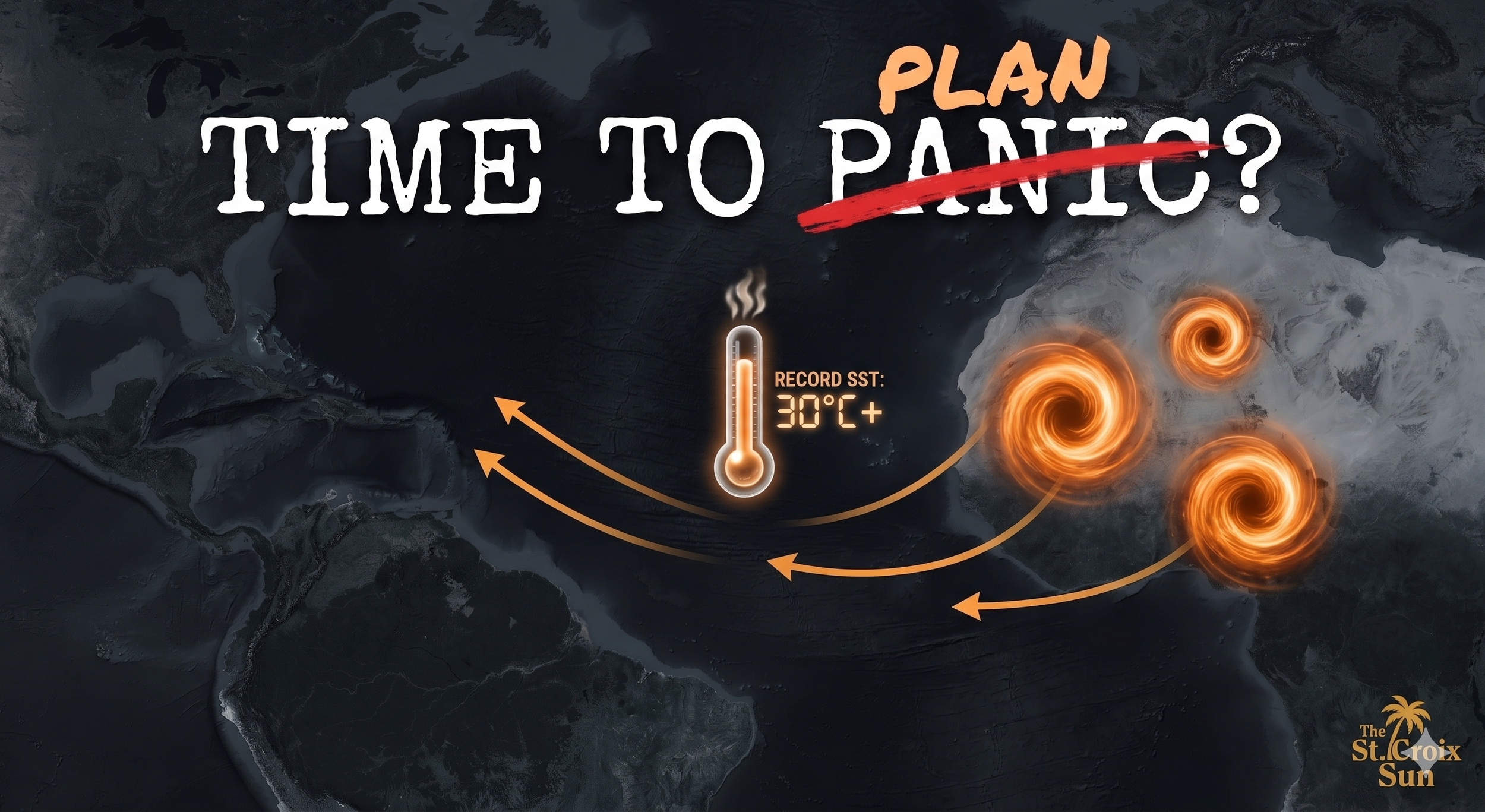
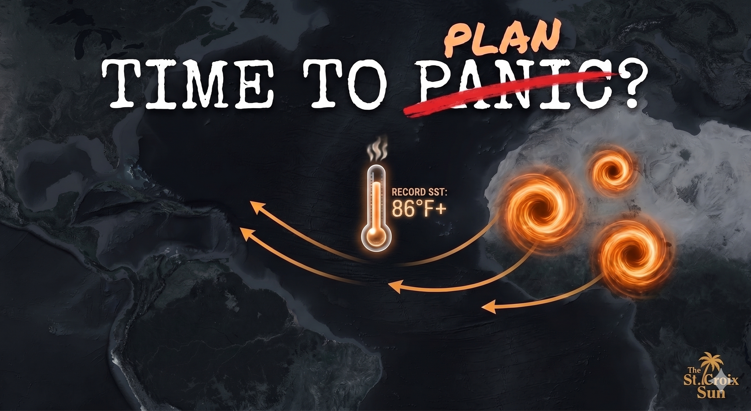
The May Warning — Time to Plan, Not Panic
By JOHN McCARTHY / St. Croix Sun Investigative Reporter
ST. CROIX — If you’ve looked at the horizon this morning, you’ve seen the simmer. But if you look at the dockets coming out of the "Hurricane Factory" in Africa, you’ll see something even more sobering.
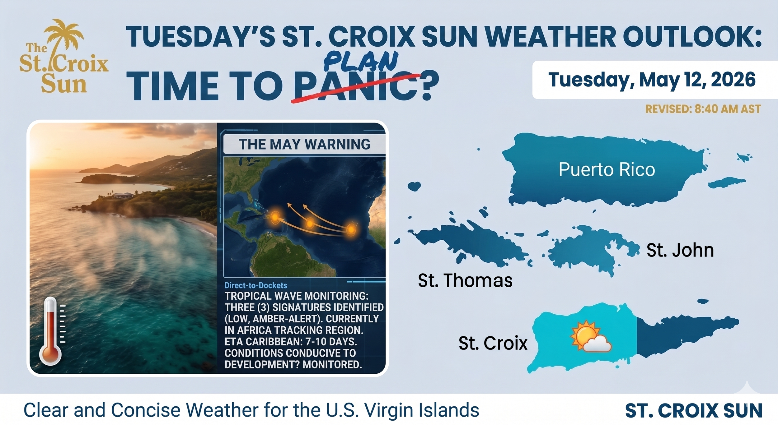
As of May 12, 2026, our tracking systems have identified three (3) distinct tropical wave signatures already moving westward. To put that in perspective: the National Hurricane Center doesn’t even begin its routine daily monitoring until this coming Friday, May 15. The Atlantic has decided to start the clock early.
The ‘Direct-to-Dockets’ Data
The infographic we are releasing today (seen above) highlights an "Amber-Alert" status for the Atlantic tracking region. These three waves are currently in their infancy, but their early appearance—combined with local heat indices topping 101°F—creates a thermodynamic environment that mirrors the lead-up to some of our most challenging years.
Why ‘PLAN’ is the New ‘PANIC’
In the spirit of the great abstract expressionists, we’ve crossed out the word PANIC on today’s outlook. Why? Because panic is a reaction, but a PLAN is a strategy.
The signatures are there: 7 to 10 days before these waves reach the Caribbean basin.
The heat is there: Atmospheric conditions are already conducive to development.
The history is there: We remember the "February Omen" of 2017 and the blistering spring of 1989.
We aren't telling you to clear the shelves of bread and water today. We are telling you to clear your mind and check your supplies. When the tropics "whisper" this early in the year, the wise reporter—and the wise resident—listens.
More Data Points to Crunch, While You Munch Your Captain Crunch
There is a specific kind of heat that Crucians know too well. It’s the kind that doesn’t just sit on your skin; it feels like an omen.
As of this morning, May 12, we are seeing heat indices in the triple digits. But it’s not just the sweat on our brows that should have us paying attention. Across the Atlantic, the "Hurricane Factory" off the coast of Africa has already clocked in for the season—nearly three weeks before the official June 1 start date.
Three Waves Before May 15: Why it Matters
Statistically, the first two tropical waves of 2026 rolled off the continent by May 4. Now, a third is "strolling" toward the Caribbean. While the National Weather Service isn't calling for a state of emergency today, historical records tell us that an early start to the African wave train often correlates with high-impact seasons.
In a "normal" year, we don't see this kind of organization until late June. To see it now, while our local waters are already simmering at near-record temperatures, is like seeing a SpaceX rocket fueled and on the pad while the mission clock is still at T-minus 20 days.
The Ghosts of 1989 and 2017
Long-time residents remember the spring of 1989 and the early summer of 2017. Both years began with an aggressive early heat that felt "off." In both instances, early-season Saharan dust acted as a temporary shield, leading many to believe we were in the clear.
But as we learned with Hugo and Maria, the Saharan Air Layer (SAL) is a fickle protector. If the dust clears out just as the African waves peak, that early-season heat becomes the high-octane fuel for whatever is moving through the islands.
The ‘Panic’ vs. The ‘Plan’
Should you be rushing to the grocery store for the last case of water this morning? No. But should you be looking at your shutters, checking your cistern levels, and ensuring your "Direct-to-Dockets" emergency kit is ready? Absolutely. The 2026 season is currently a tug-of-war between an emerging El Niño (which typically discourages storm growth) and a record-hot Atlantic (which encourages it). When two giants fight, it’s those of us on the ground who need to watch where the feet land.
The Bottom Line: Three waves in May is a rare signal. It’s the atmosphere clearing its throat. We would be wise to listen.